December 2021
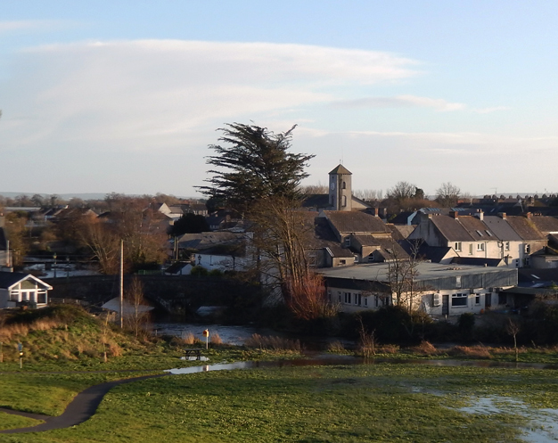
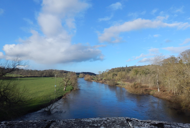
Callan on December 8th. The King's River had risen considerably in the aftermath of Storm Barra. The wind gusted to 85 km/hr on the 7th, which was the strongest gust recorded during 2021.December Weather Summary:
December was mild and finished on a very mild note with 14.0° recorded on the 31st. There were 5 air frosts but all were slight. The lowest temperature -0.6° was recorded on the 19th.
It was a wet month. I recorded the exact same total as last December 2020. Christmas Eve was the wettest day with 27.9mm. Top gust of 85 km/hr was recorded on the 7th during Storm Barra.
November 2021
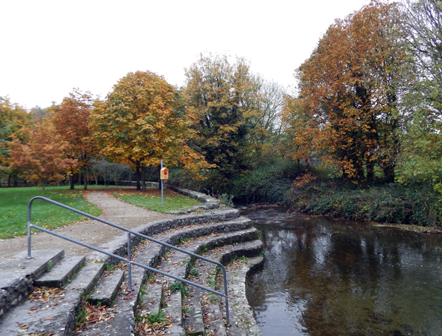
The River Nuenna at Freshford on a quiet Saturday 13th. It was overall another benign, dry month. The driest on record. Some good colour was still present on the trees because there was little frost and no storms until the end of the month.November Weather Summary:
November was very mild until the last week and in the end the mean temp was just a little above normal. Top temperature was 16.5° on the 8th. The lowest temperature -1.5° was recorded on the 25th. There were 4 days with air frost.
It was the driest November on record. Top gust of 67 km/hr was recorded on the 26th.
October 2021
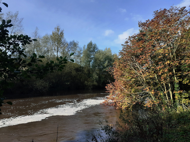
After a long dry period there was some very heavy rainfall in the last week of October. The 48.5mm that fell on October 27th was a new October daily rainfall record for Kilkenny. Picture above was taken on the morning of the 28th with the river in full flow. Fortunately the ground was not saturated and there was little flooding.October Weather Summary:
It was the warmest October in 8 years. Top temperature was 20.0° on the 18th. The lowest temperature 2.5° was recorded on the 30th. There were 9 days with ground frost.
It was the wettest October in 7 years with the majority of the rain falling after the 22nd. Top gust of 62 km/hr was recorded early on the 31st
September 2021
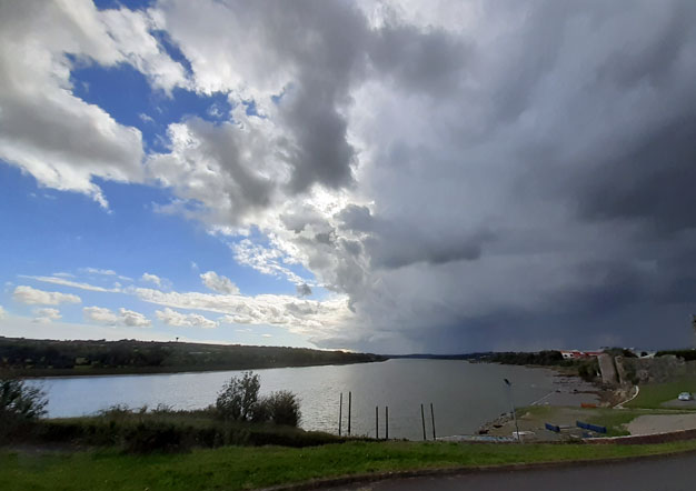
A thunderstorm on the 28th September passed over the south of Kilkenny and is seen here arriving at the River Suir near Granny, Co Kilkenny. Overall though it was a warm, dry month. Our warmest on record.September Weather Summary:
Warmest mean temperature on record. Fractionally warmer than 2016. The mean max was higher in 2016 but a succession of warm nights ensured this year had the warmest mean temperature. A record September high temperature of 27.6° occured on the 7th. The lowest temperature of 3.3° was recorded on the 29th with the only ground frost -2.3° also recorded that night.
The month started with an absolute drought continuing from August and the rainfall was only 56% of normal. Wettest day was the 26th with 9.6mm of rain. Top gust was only 43.6 km/hr on the 30th.
August 2021
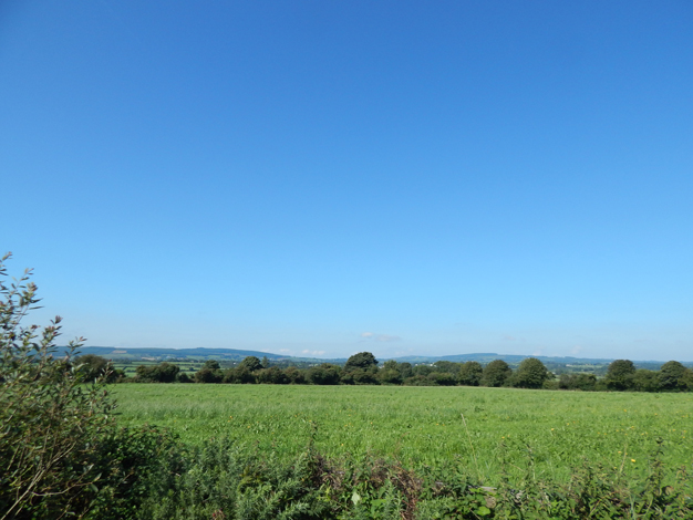
Blue skies over the hills near Mullinavat on the 24th of the month. Much of the earlier part of the month was dry but mediocre. Then from the 22nd onwards there was no more rain and lots of blue skies like the above picture.August Weather Summary:
It was another warm dry month. However the first 3 weeks saw some rain and a lot of cloud.It was our warmest in 3 years.
Rainfall was below normal and our driest in 3 years. The warmest day came late in the month with 26.5° on the 26th . The lowest temperature was 7.7° on the 2nd.
The top wind gust of 59 km/hr was recorded on the 6th. Thunder was heard around 4pm on the 5th.
July 2021
The evening sun shining on the Carnegie Library at John's Quay on July 14th in contrast to the dark blanket of cloud to the east. Despite the threatening cloud it was a fine dry evening and there were many calm, hot evenings this month.July Weather Summary:
It was a warm dry month. From 16th to 23rd the maximum temperature exceeded 25°. The highest temperature was 29.6° recorded on the 22nd. In all there were 9 days when it climbed above 25° and 19 days above 20°. The coldest temperature was 8.1° recorded on the 5th.
Rainfall was below normal and very little fell from the 5th until the 29th. Wettest days were 4th and 29th when 13.4mm was recorded. The top wind gust of 48 km/hr was recorded on the 28th. Also on this date there were two separate thunder showers.
June 2021

The evening of June 3rd at the Market Yard entrance to the newly opened extension to the walkway by the River Nore . There were many fine dry days like this in June.June Weather Summary:
It was a warm, dry month. Our warmest in 3 years. Top temperature was 25.2° on the 13th and lowest was 4.3° on the 22nd.
It was also a very dry month and driest June in a continuous series back to 1957. Top wind gust was 46 km/hr on 3rd.
May 2021
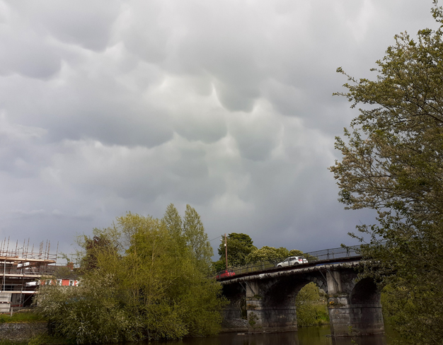
Mammatus clouds over Greensbridge on May 18th. There were some very heavy thundery showers that day. The heaviest one traversed the county from Callan across to Gowran and produced lots of thunder and a lot of hail. The hail was still visible on the ground at 9am the next day near Stoneyford.May Weather Summary:
It was a cold month. Our coldest May since 1996. There were four days with air frost and the coldest was -1.7° on the 7th. Still it did warm up at the end of the month and reached 21.8° on the 30th.
In contrast to April, it was a very wet month with a total of 134.1mm. Thunder was heard twice and hail fell on 3 days. The top wind gust was 71 km/hr recorded on the 3rd of the month.
April 2021
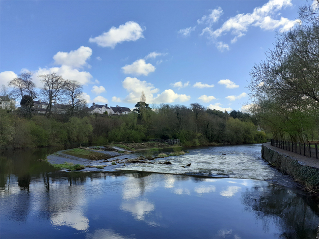
View over the Lacken Weir on the morning of April 10th. It was typical of the month - dry, sunny, but cold. There was no heavy rainfall all month and it ended up the driest April on record (back to 1958).April Weather Summary:
It was a colder than normal. Our coldest March in 9 years. The day temperatures were not too bad but the nights were cold with 10 air frosts registered. The coldest was -2.7° on the 10th. The warmest was on 24th with 18.0°.
It was a very dry month with a total of only 13.5mm. As said earlier it was our driest on record. The top wind gust was only 48 km/hr recorded on the 8th. There were plenty of hail showers and graupel during the month.
March 2021
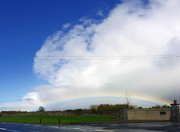
March 26th was an unstable showery day with some hail showers and snow showers late in the day. This picture with the low rainbow was taken out the Waterford Road around the middle of the day as one of the heavier showers passed eastwards.March Weather Summary:
It was a mild month. Our mildest March in 4 years. The warmest days came at the end of the month with a mximum of 17.6° on the 31st. The coldest days were at the start with -2.0° recorded on the 8th.
It was a dry month with little or no rain at the atart and end of the month. The total of 42.7mm was almost the same as last year's. It was our driest March in 5 years. The top wind gust was 82 km/hr recorded in the early hours of the 11th.
February 2021
A full River Nore at Norelands on February 25th. The previous days saw a lot of rain but thankfully there were no major flood incidents.February Weather Summary:
Overall it was a wet month but slighlty milder than normal. Nevertheless it was our coolest since 2018. The mildest day was the 15th when it reached 14.2°. There were only 5 nights with air frost and the coldest was -1.7° recorded on the 10th.
Light snow fell on a few occasions, on the 8th, 9th, 11th and 13th but never enough to settle. The top wind gust was 64.4 km/hr recorded on the 14th.
January 2021
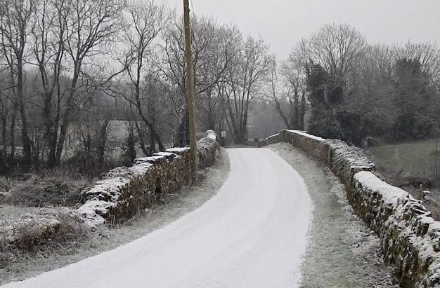
A light fall of snow at Ennisnag on January 7th. The snow fell when the air temperature was below zero and settled readily. there was another fall late on the 23rd. It was a little heavier (depth 2cm) than the first fall but temperatures stayed slightly above zero during the night and didn't cause any problems.January Weather Summary:
The mean temperature was below normal. It was our coldest January in 10 years. It dipped to -6.9° on the 9th and there were 16 air frosts. the lowest ground frost was -13.0° on the 9th.
The start of the month was dry but cold but a wetter end to the month ensured that rainfall was above normal. Westtest day was 13.7mm on 15th.Thankfully there was no strong storms and the top gust of 57 km/hr on the 30th.
